
Features Colorado Trail
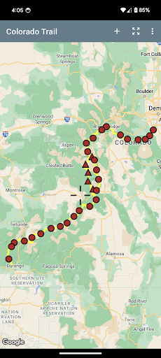
The Colorado Trail (#1776) is a collection of roads and trails managed by the United States Forest Service that generally follows the Continental Divide between Denver and Durango.
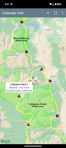
The trail splits into two between Twin Lakes and Monarch Pass, which provides a more difficult and scenic route through the Collegiate Peaks Wilderness, with only a small increase in total mileage.
Explore the entire trail on an overview map that can optionally display either satellite imagery or a combination of standard road maps and terrain maps.
Every twist and turn of the trail is depicted, along with distances, elevations, trailheads and access roads, all of which can be used either during the planning stage or while on the trail.
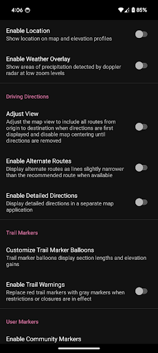
Markers can be positioned anywhere on the map to set goals, document progress, and make note of important information, such as the location of water and reliable cell phone coverage.
With the help of device location services, driving directions make finding the trail a simple process for day hikers and mountain bikers, even when the trail is at the end of a maze of unmarked roads.
Gaming Features
Enjoy immersive gaming experience with various game modes.
Smart Home
Control and monitor your home with smart features.
24/7 Support
Our dedicated support team is always ready to help you.
See the Colorado Trail in Action
Get the App Today
Available for Android 8.0 and above